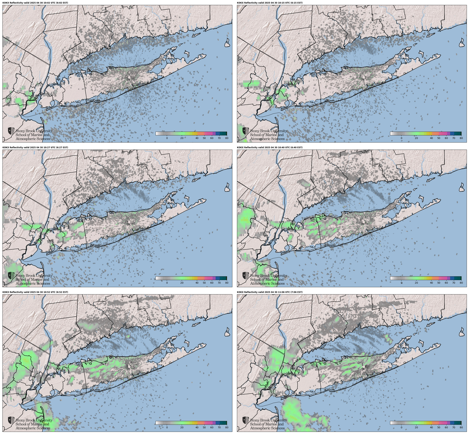


Webcam images updated every 15 minutes - click on any image for larger version.
Sea Conditions at
Shinnecock Inlet
Long Island New York USA
Latitude 40 degrees 50.52 minutes North
Longitude 72 degrees 28.70 minutes West
A service of LIShore.
Page last updated 01/10/2025 19:35 EDT
Station status 8/18/2024:
The camera has been replaced and is functioning normally.
This site is funded by donations only, which limits our ability to support it. An upgraded camera would greatly improve reliability but we need to raise about $3,000 to buy one. If you would like to make a tax-deductible contribution toward the cost of an upgraded camera, please contact webmaster Tom Wilson (email: webmaster@lishore.org), or Click here to make an secure online donation,
| Weather Observations at Light Tower "Big White" in Southampton, NY, United States of America | |||
| Time | Last Updated on Apr 25 2025, 8:10 pm EDT | Maximum, last 24 hr | Minimum, last 24 hr |
| Average wind speed | 10.0 mph |
18.0 mph at 2:17am |
|
| Wind direction | Southeast : 142 deg true | ||
| Air temperature | 53.3 deg F (11.8 deg C) |
56.9 deg F (13.83 deg C)
at 2:19pm |
51.8 deg F (11 deg C)
at 6:47am |
| Barometric pressure | 30.139 in Hg (1020.6 mbar) |
30.265 in Hg (0 mbar)
at 7:31am |
30.127 in Hg (0 mbar)
at 7:35pm |
| Barometer - 1 hour trend | Steady | ||


Weather Forecast for Shinnecock Inlet Southampton, NY
Tonight Mostly Cloudy then Rain Showers Likely |
| Lo 53 °F |
Saturday Rain Showers |
| Hi 63 °F |
| Saturday Night  Rain Showers |
| Lo 45 °F |
Sunday Mostly Sunny |
| Hi 58 °F |
| Sunday Night  Mostly Clear |
| Lo 47 °F |
Monday Sunny |
| Hi 62 °F |
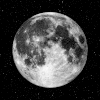
Phase of the Moon

Sunrise: 05:56 AM EDT
Sunset: 07:44 PM EDT
NOTES:
- Real-time data are unchecked and preliminary. Please read this disclaimer.
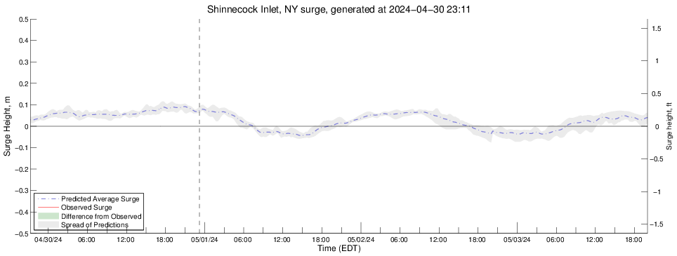
- The Storm Surge model is under development and predictions for sea level height are for research purposes only. They should never be used for navigational purposes or emergency planning under any circumstances.
- MSL = measurement referenced to Mean Sea Level. Seasonal and weather system biases highly affect estuarine water levels, therefore the MSL datum for this station is preliminary until data are collected over a sufficient length of time to define it accurately.
- Inlet camera supported by crowdfunding - Click here to donate.
- Sensors supported by the Shinnecock Bay Restoration Program.
- Weather forecast provided by the US National Weather Service in Upton, NY.

About LIShore |
Data Access |
LIShore Home |
Photographs and maps |
Help LIShore grow |
Disclaimer
 LIShore is a project of the School of Marine and Atmospheric Sciences at Stony Brook University in collaboration with the LIShore partners.