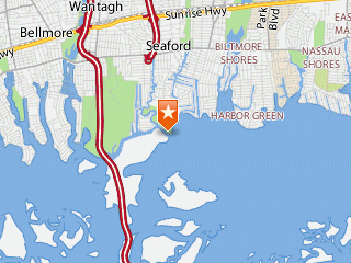
Seaford station location
Conditions at
SEAFORD
Long Island, New York USA
Latitude 40 degrees 38.9 minutes North
Longitude 73 degrees 29.5 minutes West
Page last updated 03/27/2025 23:55 EDT
Station status: Station is operating normally.
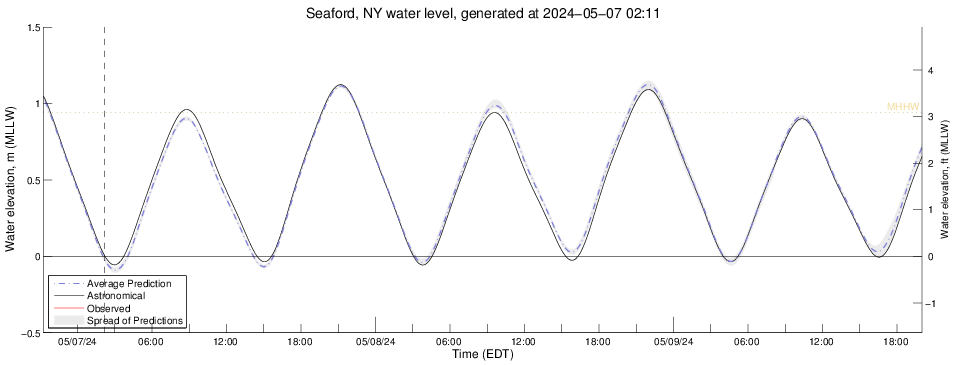
| Water Level and Water Temperature at Seamans Neck Park | ||||
| Latest Observation Time | Latest Value | Average, last 24 hr | Maximum, last 24 hr | Minimum, last 24 hr |
| Water level, NGVD29 03-27 22:30 EST |
0.57 m (1.86 ft) | 0.38 m (1.24 ft) | 1.13 m
(3.69 ft) at 03/27 01:12 EST |
-0.39 m
(-1.26 ft) at 03/27 12:42 EST |
| Water temperature 03-27 22:30 EST |
8.18 C (47 F) | 4.76 C (41 F) | 8.77 C
(48 F) at 03/27 13:12 EST |
0.00 C
(32 F) at 03/27 10:54 EST |
Weather Forecast for Seaford, NY
Tonight Mostly Cloudy then Chance Very Light Rain |
| Lo 41 °F |
Friday Partly Sunny then Slight Chance Rain Showers |
| Hi 58 °F |
| Friday Night  Chance Rain Showers |
| Lo 46 °F |
Saturday Chance Rain Showers then Mostly Sunny |
| Hi 72 °F |
| Saturday Night  Slight Chance Rain Showers |
| Lo 46 °F |
Sunday Slight Chance Rain Showers then Mostly Cloudy |
| Hi 56 °F |
Phase of the Moon
Sunrise: 06:41 AM EDT
Sunset: 07:13 PM EDT
NOTES:
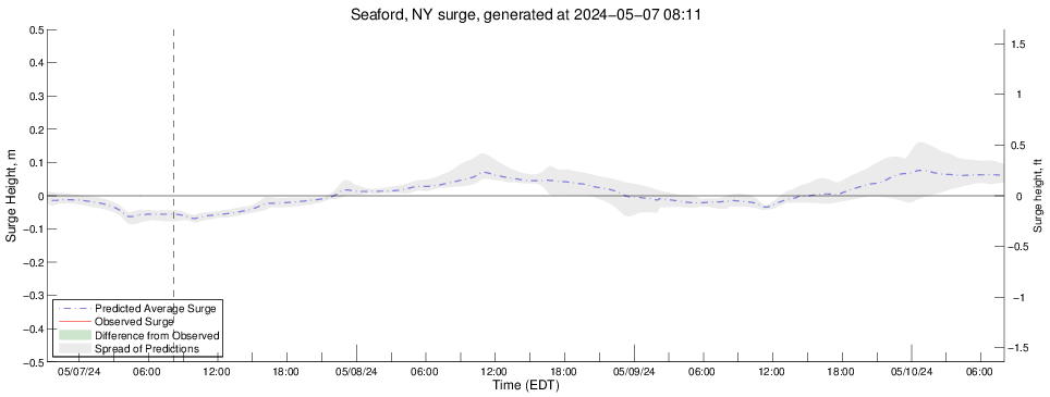
- The Storm Surge model is under development and predictions for sea level height are for research purposes only. They should never be used for navigational purposes or emergency planning under any circumstances.
- Real-time data are unchecked and preliminary. Please read this disclaimer.
- MSL = measurement referenced to Mean Sea Level. Seasonal and weather system biases highly affect estuarine water levels, therefore the MSL datum for this station is preliminary until data are collected over a sufficient length of time to define it accurately.
- NGVD29 = measurement referenced to National Geodetic Vertical Datum of 1929.
- Weather forecast provided by the US National Weather Service in Upton, NY.
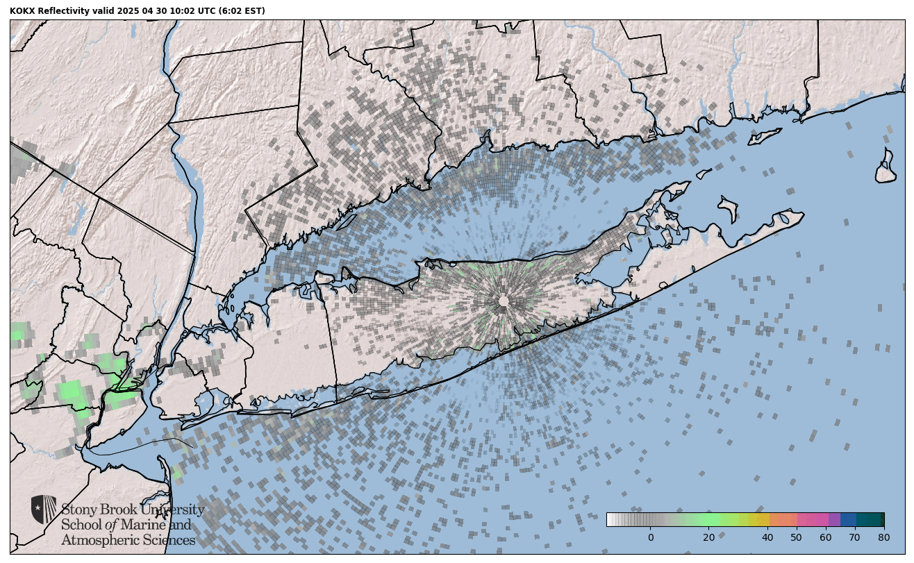
Current Radar over Long Island
Click on image to enlarge.

About LIShore |
Data Access |
LIShore Home |
Photographs and maps |
Help LIShore grow |
Disclaimer
 LIShore is a project of the School of Marine and Atmospheric Sciences at Stony Brook University in collaboration with the LIShore partners.